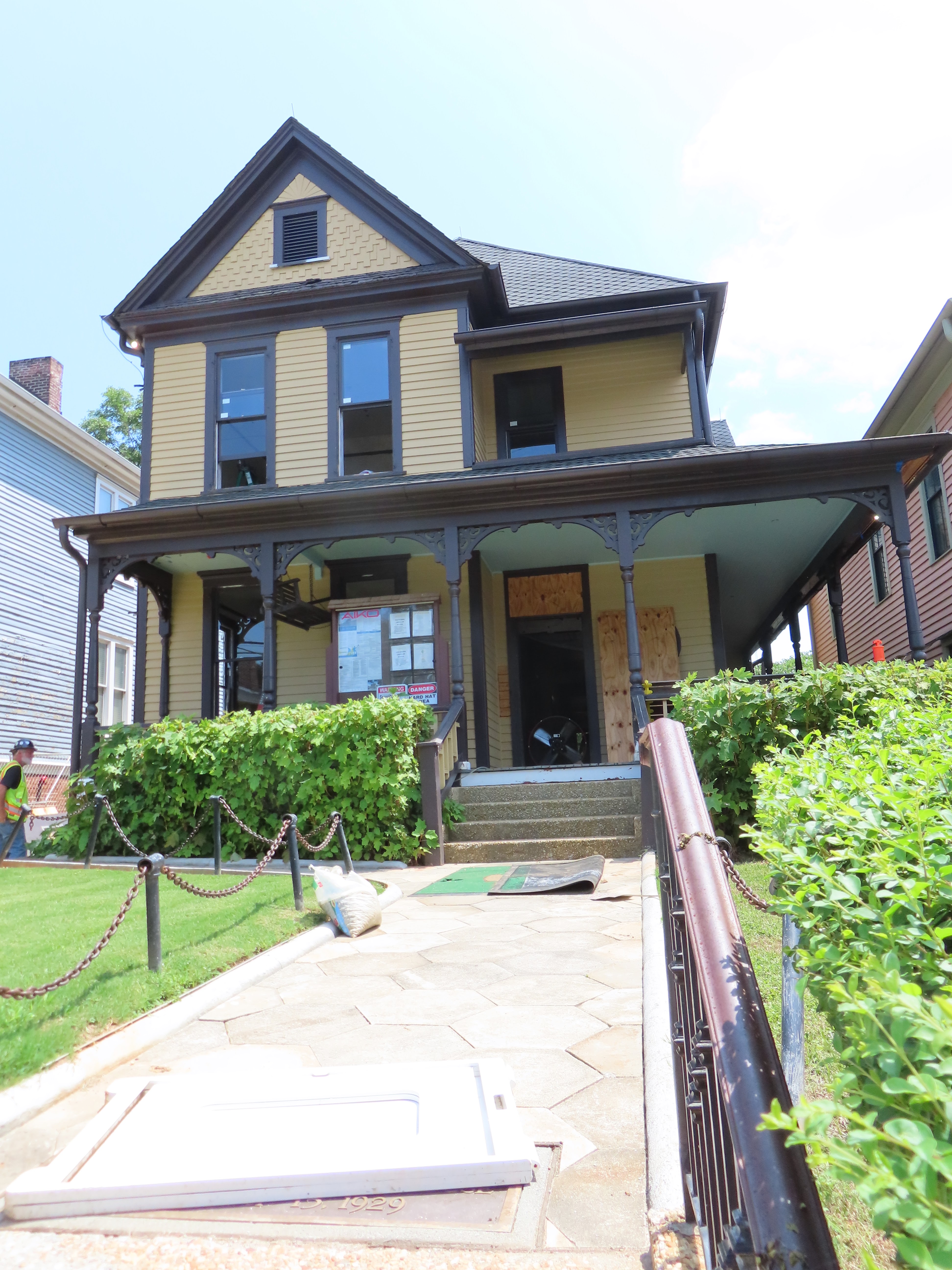
Sunday 3 March 2024

El Salvador - Don’t Go Chasing Waterfalls…

February 24-25


Hello everyone!


No need to chase them when there are so many in close proximity. Seven, in fact.


One of the 'siete cascadas'

A hike which included clambering up rocks!

Welcome to the area surrounding the village of Juayua, a stop on the ‘Ruta de las Flores’ or ‘Flower Route’. I’ve mentioned before that one of El Salvador’s methods of boosting tourism away from the blackened beaches of the Pacific Ocean is to create a variety of ‘routes’ such as these, which take a visitor to vaguely interesting places inland. 

This route starts in Sonsonate and heads north to Ahuachapan

Not many flowers visible by the waterfalls

It’s not the easiest town to pronounce. Any guesses? Joo-ah-yoo-ah? Jwa-yu-wah? Huh-wuh-ah-yoo-ah? 

Welcome to where??

The outskirts have pretty art painted on gates

‘why-OO-uh’ is the correct way to see this cute little town, which has developed a reputation as a nice place to visit. This is particularly pertinent on Saturdays and Sundays, when it hosts a weekly gastronomic festival. We’d seen this once before…at about 9am, when the only stall open was selling Taiwanese dumplings. As part of a whirlwind 24 hours away from the big city, we started by exploring the food available in Juayua on Saturday afternoon.

Apparently the church is famous for having a 'black Christ' inside

Walking across the main square from the imposing church towards a series of canopies, you’re initially hit by…noise. Specifically, blaring music. Speakers mere metres from one another compete to fill any possible semblance of silence. Not even the smoke billowing up from the grills is able to dampen it.

There were three or four different streets with entrances such as this

Wondering how to satisfy hunger


I don’t know why but in my head I had imagined food from a variety of cultures being hidden under these canopies. There are a variety of…carbs. To go with your meat. 


Rice, bread, pasta...

Oh, and your michelada, of course. The effort it took to make what is essentially a Bloody Mary, into which you pour beer, was something to behold. The man’s careful and deliberate sequencing and placing of elements into and on the drink made it seem as if he was creating a sculpture for the ages. His sculpture lasted about 15 minutes. I was thirsty.

I think micheladas eminate from Mexico

Your beer comes separately and you then mix the two together

A slightly underwhelming food experience, though very filling to the point where we didn’t need proper food for the rest of the day. Lucky that, as we were staying a bit out of town…

This is a dome. We slept in it. Marvellous.

The Santa Ana volcano, El Salvador's
highest, is hidden behind that tree on the right

This was the real reason for going away. I had found Kafen on Instagram, had a look at the domes and thought “por que no?” And why not indeed with a view that stretched south almost to the sea and north to mountains and green-tinged volcanoes.

The place has three domes and one hut

The cold outdoor shower had a great view 

It stayed pretty light throughout the night as it was close to a full moon. We were surprised by how windy it became but had a lovely stay.

Sunset looking towards the ocean

We had our own fire for an hour #marshmallows 


The following morning we had arranged to do a popular hike colloquially known as the ‘seven waterfalls’ trek. A dusty drive along roads reminiscent of Malawi took us to…well, nowhere really. The car was parked, we brought a small bag with what was needed and got going a little while after 8am.


The start of our walk

The initial descent reminded us of the frustrating trip back down a volcano we had taken two weeks before. However, this dusty walk down was brief and soon stopped with some waterfalls visible in the distance.

Oscar was our guide

The first waterfall we visited

A little bit further down we were asked to change into water shoes. This part involved walking through the river - apparently it is creatively named ‘seven waterfalls river’ - to get closer to the waterfalls. 

Each fall has a name, this is Bejuco

This waterfall is 50 metres tall, the tallest being 70m

After seeing the beautiful 50-metre-high fall shown above, we approached what I think is waterfall number four. We got a little bit closer to this one…because we had to climb it…

The surprise of waterfall number four...

We used a rope to get up. No helmets needed!

It was harder for our guide, admittedly. He had to clamber up the slippery rocks without the rope. He's a little bit of a daredevil, though - you'll see a video showing that later. The other waterfalls seemed slightly tame in comparison, though all were breathtakingly beautiful.

Oscar scrambled up far faster than us

View of some of the later waterfalls

Rather than heading back straight away, our guide took us in a different direction. We headed to the Chorros de la Calera, a popular bathing spot under several small waterfalls.

There is a mural painting of this in Juayua, it is very popular

Me cooling off under the falls


I wasn’t inclined to jump from the top, like our guide…


El Salvador may be known as the ‘Land of Volcanoes’. It has plenty of waterfalls as well! 


Stunning

Stunning

Stunning


Love you all,


Matt

Saturday 24 February 2024

Guatemala - The Fire and the Fury (of going downhill)

February 9-13


Hello everyone!


Central America is renowned for its volcanoes. It’s probably for the best that only a few of them are currently spitting fiery lava on a regular basis. Having a long weekend allowed us to venture to see the pyrotechnics of the most active volcano: Volcan de Fuego.


Sunrise over Volcan de Agua from the peak of Acatenango

Fuego erupting during our night sleeping on nearby Acatenango


To say that Fuego is active would be a dramatic understatement. The Smithsonian delightfully describes it as ‘vigorously erupting’ since 2002. Most of these eruptions are relatively small; however, over 200 people officially died as a result of a more major eruption in 2018


Fuego will often 'puff' like this every 15-20 minutes


Hiking on Fuego itself is possible (you’ll see later). Most people opt for hiking its next door neighbour: Volcan de Acatenango. The two volcanoes are joined to an extent, making them fiery brethren within Guatemala’s belt of cone-shaped monsters.


Acatenango last erupted in 1972

The town of Antigua is the base of Agua

Both of these volcanoes, as well as another called Volcan de Agua, are easily visible from the UNESCO-protected town of Antigua. I have been here once before, during Holy Week, and was looking forward to enjoying the charm of this cobblestoned town as a reward for scaling Acatenango. Antigua is 1500 metres above sea level, so a bit of a climb from where we are based in El Salvador.

View of Agua and Acatenango from the city

Antigua is known for its cobbled streets and colonial architecture

After sleeping in Antigua on the Friday night, Saturday was the day of our climb. This is a very popular activity, meaning that many companies were fully booked when we tried to organise this a month prior. Long story short, our company was a bit more budget-oriented, meaning that, among other things, we had to carry our bags, food and equipment to the top. Not a problem…until I picked up my backpack on Saturday morning and found that one of the main straps had snapped.

View of Fuego and Acatenango from our hostel

One strap: difficult to carry

Using a friend’s spare, much smaller pack, I managed to squeeze enough stuff into my bag, depositing the remaining items in Hannah’s bag. That extra equipment we had to take included:

  • A food box containing three meals

  • A winter jacket

  • A pair of gloves

  • A head torch

  • A bedding liner

  • A Camelbak containing 3 litres of water

In total, my bag without the water was just under 10Kg. 


My gear, including a bottle of Baileys for the top!

A sizeable food box!

We were driven 45 minutes away from Antigua to the starting point of the hike. It was now 11am, with the Sun high and powerful in the sky. After renting a thick, wooden stick (which proved invaluable) and getting a photo, we started to head up.

Ready!

The first section takes you past farms -
note that barbed wire for later in the story...


We had been told that the first hour would be the hardest. It was certainly steep but it didn’t seem too onerous. We did note that very few people coming down seemed to be smiling. Our group stopped after a short while as some people were already starting to struggle. 


Our group had a wide range of ages and fitness levels

A mercifully shaded section - the
temperature in Antigua was around 28'C

With that sharp gradient, however, comes a rapid increase in altitude. Altitude sickness can affect anyone. I’ve actually heard that smokers adjust to it better as they’re already used to breathing in less air, though I haven’t seen the science behind that theory. I was lucky, feeling fine as we passed through forested land which shaded our slopes.

Groups occasionally got mixed as we walked

We didn't go through the clouds at any point
but soon realised that we were above them 

You can scale Acatenango in different ways. Some groups don’t carry their bags, instead simply hurling them into a truck which meets them higher up the volcano. We had the option of human porters but didn’t feel we needed them. The use of ‘human’ may seem strange here, but there are other options for getting up - for you as well as your bag…

We carried our packs - friends with a
different company didn't have to

That poor horse

After hiking for about three hours, it was time to stop for lunch. If nothing else, this allowed us to slightly reduce the weight of our bag by eating some of the contents of the food box. The food throughout this trip was surprisingly tasty, starting with an enormous piece of barbecue chicken. It was also at this point that we saw we could buy beer, which we hoped would be quite cold by the time we got to our base camp at almost 3600m above sea level.

When you're dusty and dirty, you may as well sit on the floor!

The speed with which I devoured all of this showed how hungry I was!

On we hiked, with the stick becoming increasingly relied upon as my legs started to tire. I think it was at about 3:30 in the afternoon when our group reached a flatter area of land. This seemed to be a popular stopping point, partly as it was the last place for a truck to park but also for this view…

The long and dusty road...

Quite surreal seeing the clouds
enveloping the land around Volcan de Agua


A 45 minute walk around - and not particularly up, which was a nice change - the volcano led us to our camp. Though many people seemed to be doing hikes, they have spaced the accommodation so that it doesn’t feel particularly busy. What they all have is a panorama to die for.


I forgot to take a picture of our lodgings,
but many were strewn across this hillside

Wow. Just wow. It was like looking out from a plane.

To the left is Volcan de Agua, the extinct volcano which looms over Antigua. Moving right in the picture from there is Fuego, which would burp or puff out smoke on a regular basis. To the right of that is the setting Sun. It is breathtaking, and not just because of the thinner air.

The darker clouds are a plume from Fuego 


I wrote earlier that you can climb Fuego. People do it from this location on Acatenango, which is seen as safer as lava will head into a nearby valley instead. I didn’t do it, contenting myself with the view of Fuego from our hillside shack. What they saw and felt was incredible, as you’ll see from the pictures below, but I don’t regret kicking back on the hill with one of those beers (not as cold as I’d hoped) instead of dragging my body down and up and down and up to get closer.


The lava didn't get near them -
from our view, it looked close!

It's an incredible sight at night

As you can see, we had a pretty good view ourselves. This is media taken by others in our group.

The illuminated clouds show the towns
below, an incredibly eerie, silent sight

It was also almost a new moon, so the
stars were very much on show for us


Watching the Fuego really come to life as light turned to night was spectacular. Those plumes of smoke which are seen during the day are suddenly illuminated in the darkness, with showers of fierce red spraying up and then sliding down the sides of the volcano. I would have stayed up watching it - and the incredible stars - for hours if I wasn’t waking up at 4am.


This was to continue climbing. We still had almost 400 metres left to go to get to the summit. This is done in the dead of night, with only a head torch guiding the path. Respecting the temperature, which was definitely below zero at this time and height, means wearing all the clothes you’ve got. Hiking up soft gravel is quite a workout, causing you to sweat and want to remove some of those clothes. I used it as a distracting daydream, and soon we had reached the summit. 3976 metres above sea level.


The ground was softer here, meaning
you slid back slightly with each step

Sitting at the top, trying to take this photo as quickly
as possible so I could put my gloves back on

We were greeted at the summit by hundreds of other people, one of whom clearly has no social decorum as they were blaring Creep by Radiohead out of a speaker. We thus moved to a different part of the peak, noting the ‘brave’ people who had pitched tents in the shallow crater of Acatenango, and waited for the Sun to peep through the clouds. Mainly for warmth - it was below zero degrees at the top.

It was bizarre to see so many people!

I can't imagine these campers got a lot of sleep with the wind and cold

It did not disappoint.

The Sun rose pretty much behind Volcan de Agua

Fuego was still spitting its clouds as the Sun came up

The blog title includes the word ‘fury’. That came when descending. Partly self-inflicted - I will invest in hiking boots in the near future - but those steep slopes seemed infinitely harder to descend than they had been to go up the previous day. I fell five times in one section alone, one time somehow contriving to fall on my front. If it wasn’t for the stick, I would have gone down a lot more. Towards the end, I lost my footing and put my hand out…onto barbed wire. Luckily I only nicked the side of my hand on a section which would have resulted in a lot more pain. Even with this, I still enjoyed this more than hiking Volcan de Concepción in Nicaragua.

This part, in which you can almost run because the soft
ground absorbs your feet, was the most enjoyable part 

We ended up walking with our friends who
were with another company on the way down

I don’t want to focus on that. I want to focus on the achievement of climbing a volcano - actually the second highest peak I’ve ever climbed, after Kota Kinabalu in Malaysia - and that view above the clouds and almost beneath the smoke. 

Before...

...and after.

Beautiful

Love you all,


Matt